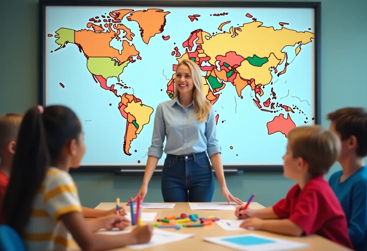
Imagining an engaging educational activity with a blank world map can transform geography learning into an interactive adventure. Teachers can encourage students to explore the world by asking them to locate and mark the continents, oceans, and countries. This approach not only helps memorize names and locations but also deepens their understanding of cultural and geopolitical diversity.
To make the experience even more enriching, pairing the exercise with research on specific characteristics of each region can spark the curiosity of young minds. For example, they could discover the climates, languages, iconic monuments, or culinary traditions of different countries. Using a blank world map as a starting point thus offers a multitude of possibilities for dynamic and comprehensive learning.
The Educational Benefits of a Blank World Map
Children are naturally curious and eager to explore. Using a blank world map in the classroom allows this curiosity to be channeled towards learning geography. Such a tool is valuable for awakening students’ interest and encouraging them to explore the world interactively.
A blank world map stimulates memory and the ability to navigate space. By marking the continents, oceans, and countries, students better memorize geographical locations. This activity helps to understand geographical and cultural relationships, thereby enhancing their overall knowledge.
Various Educational Uses
Teachers can leverage this resource for various subjects:
- In geography, to locate continents and countries.
- In history, in connection with geopolitical events.
- In foreign languages, to situate the regions where these languages are spoken.
Printing a large blank world map (140×100 cm) is particularly suitable for interactive classroom activities. It allows students to work together, discuss, and share their discoveries.
A blank world map is not only a valuable educational tool: it is also a vehicle for awakening curiosity, conducive to rich and varied teaching.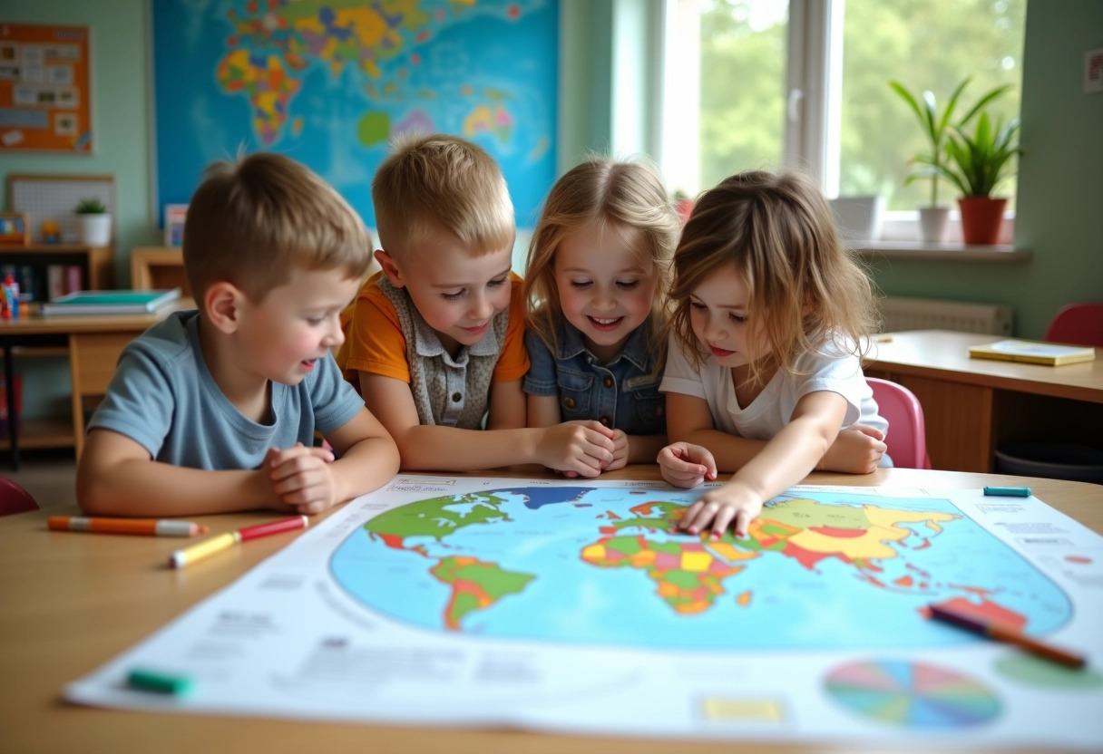
Creative Techniques for Classroom Use
The use of a blank world map in the classroom opens up varied and enriching educational perspectives. Teachers can adopt various techniques to make learning more interactive and stimulating.
The National Geographic Institute (IGN) offers specific educational modules. These resources allow for complementing work on the world map by adding dynamic elements such as thematic maps or geopolitical analyses. Using these tools fosters a deeper understanding of geographical and historical issues.
In partnership with the European Union, thematic maps covering various topics such as migration, climate, or economy are available. These maps enrich the blank world map and allow for addressing global issues in a concrete and visual manner. Students can thus better grasp the interconnections between different countries and regions of the world.
| Organization | Proposed Resources |
|---|---|
| IGN | Specific educational modules, thematic maps |
| European Union | Thematic maps on migration, climate, economy |
| Sciences Po | Thematic maps and geopolitical analyses |
Sciences Po provides thematic maps accompanied by geopolitical analyses. These tools are particularly useful for advanced students, allowing them to delve into complex topics and facilitate classroom debates. Using these resources enriches the educational experience and offers students a comprehensive and nuanced view of the world.